
Back to listing
Visit Website
Clay Cliffs
Address
111 Hutchinson St
Big Rapids,
MI
49307
United States
Regions: Big Rapids
(map loads here)
Expand All
Description
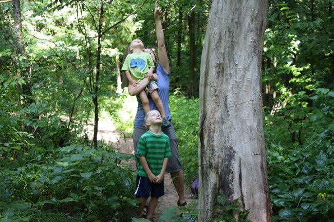
Clay Cliffs spans roughly 69 acres at 111 Hutchinson St, split between about 23 acres inside the Big Rapids city limits and another 46 acres in Big Rapids Township. The park runs on unimproved nature trails that wind through forest and along Mitchell Creek, giving visitors a rougher, more natural experience than the paved paths found elsewhere in the city's park system. Families looking to explore the park with kids can pick up the Clay Cliffs BR Book, a kid's guide the CVB produced specifically to help younger visitors get oriented and engaged with the landscape. The trails aren't heavily maintained or marked, so visitors are encouraged to download offline maps before heading out, since cell service and trail signage can both be unreliable once inside the tree cover. Clay Cliffs fits into Big Rapids' broader trail network, which earned the city an official Pure Michigan Trail Town designation in 2022 for its combination of hiking, biking, and paddling access points. Locals return to Clay Cliffs for the sense of genuine wilderness it offers just outside downtown, a contrast to the more manicured Riverwalk a short distance away. Visitors exploring Big Rapids on foot or by bike can treat Clay Cliffs as a rawer companion to the Riverwalk, best suited for those comfortable with unmarked, occasionally overgrown trails rather than a formal walking path.
We would like to lookup your present location so we can provide accurate directions.
Your browser may ask for your permission to determine your location (possibly at the top of this page).
If you agree, we will use your current location as the starting point for directions. If you don't agree, you may enter a starting location when the map is displayed.